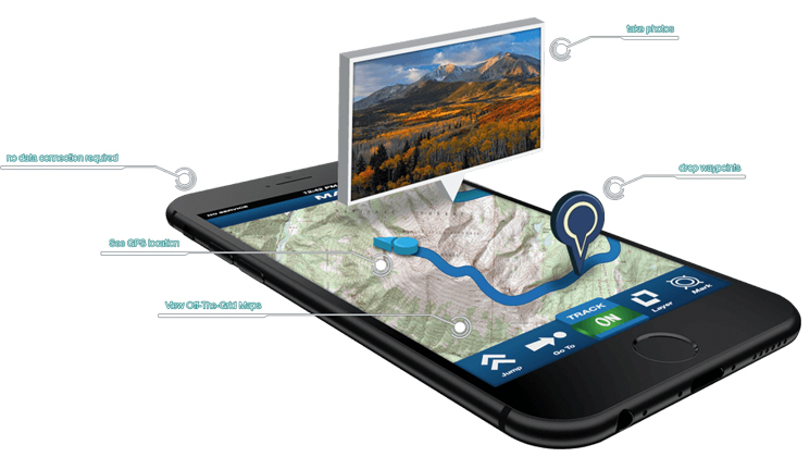
Trimble has been on the forefront of GPS technology and innovation since the late 1970s. Beyond government contracts, the company is invested in the commercial market under the Trimble Outdoors banner, offering mapping software tailored to outdoor adventure. Trimble Outdoors has smartly merged its program with GPS-enabled mobile devices in the form of an app for both Android and iOS users, limiting the need for a stand-alone GPS device.
Once signed up and logged onto the website via a computer, the user can plan and create the adventure of a lifetime. Mobile service is not required for use; subscribers can simply send a prepared map to their GPS-enabled devices from a computer using the company’s website.
Enhanced map layers, such as street maps, satellite views, aerial views, topography maps and even state and private land boundaries, are all included with its Elite membership for $40 annually. Compared to the cost of other mapping and GPS software and devices, it’s a fair deal.
Learning any software takes some getting used to, and of course, requires a bit of trial and error to learn the paces involved with map designing, but the company’s tutorial page helps remove the guesswork. During testing, the app’s GPS accuracy landed within an average of 15 ft. in urban areas and 25 ft. in the thick mountainous terrain of the East—not too bad considering I was using my phone rather than a dedicated device. Using the private land boundary map layer was especially useful for posting property boundaries and finding hidden property markers.
The free version of the app is a useful tool, though a paid subscription unlocks all of what the company has to offer. Trimble Outdoors offers a seven-day free Elite trial—no credit card required—so that prospective buyers can begin planning their next adventure right away. Contact: Trimble Outdoors LTD.; trimbleoutdoors.com.


